About us
Land Survey Team has been setup in 1988 to assist development of works with topographic, cadastral, hydrographic and other survey. The company has been contributing all types of survey works for government such as PWD, RHD, BWDB, BADC, LGED, DPHE, PDB, GTCL, DCC, KDA, DWASA, CWASA, KWASA as well as for non-government and private organizations for quite a long time with reputation and strong standing. It has been doing all sorts of surveys particularly topographic and bathymetric survey, data collection, processing, analyzing and interpretation, report preparation and consultancy services relating to land survey, hydrographic survey and hydraulic structure design with entire satisfaction of the indenters. Land Survey Team got the approval from Surveyor General of Bangladesh in 1999.

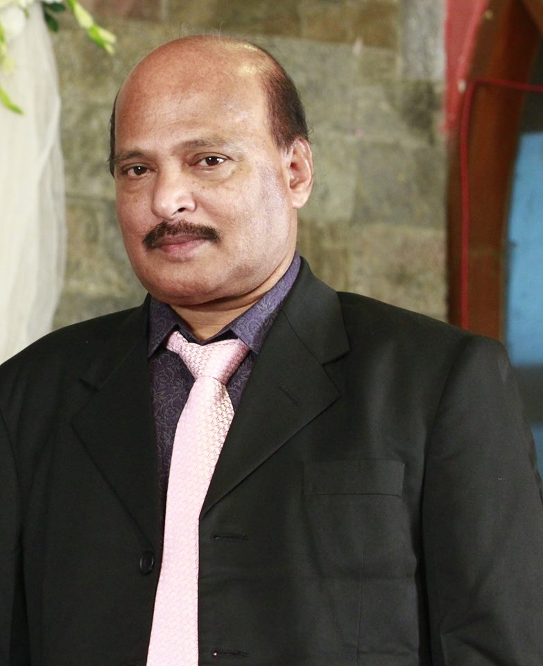
Engr. Md. Mokhlesur Rahman
MANAGING DIRECTOR
Engr. Md. Mokhlesur Rahman is widely professionally experienced at home and overseas. Mr. Rahman worked in Iraq (Year of 1982 -1984) (Ministry of Local Affaires and Roads & Highways) and Oman (Year of 1984-1986). He is a social reformer and is associated with various social organizations with a strong commitment in his humble effort for the development of the community. He has been extending kind hands to the most needy people of the society.
Engr. Md. Mokhlesur Rahman is also one of Director of Barakah Hospital Limited .
Mehbuba Mokhles Misti
DEPUTY MANAGING DIRECTOR
As Deputy Managing Director at Land Survey Team Engineering & Survey Consultants, Mehbuba Mokhles Misty supervise the work of projects surveys, drawings, mapping, data collection system and reporting. She was appointed on 2nd January 2012. Mehbuba graduated with a Bachelor of Science in Electrical & Electronics Engineering and Masters in Business Administration from American International University-Bangladesh (AIUB) in 2012 and 2015.

Establishment & Management
Land Survey Team started its journey to help out development works in the arena of topographic, cadastral, hydrographic, bathymetric and some other types of survey. Experienced and qualified professionals of LST conduct land survey works, data processing, analysis, interpretation, report preparation etc. (Pipe Line as-built drawing, river analysis report with supporting maps by GIS (Arc-Info, Arc-View), Surfer, Hydro-Pro, Win Profile and drafting by AutoCAD etc.) LST is a well reputed geotechnical firm through constant efforts of its qualified professionals. LST completed subsoil investigation for more than 1000 boreholes in 250 sites in last three years. Day to day affairs of Land Survey Team is attended by the Managing Director with officials and staffs for solving the problems in a professional manner and in due time.
Strategy and Objective
LST contributes to the development of Bangladesh by participating in socio-economic and nation building activities of government, non-government & private organizations by conducting environment, fishery, agriculture and soil engineering survey. LST is acquainted with the universal conception “Honest labour never goes unrewarded”. Land Survey Team is trying to stand by the faithful & efficient discharge of duties & believes what is predestined by divine must reach in time.
Why choose us?
Below are the terms which mainly focused by Land Survey Team

